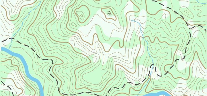
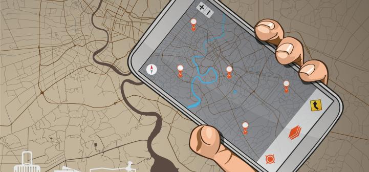
A Geographic Information System (GIS) takes the information gathered from Global Positioning System (GPS) units and organizes the information into maps. GIS maps are interactive. They allow you to see the map from different angles, to zoom in and out, …