

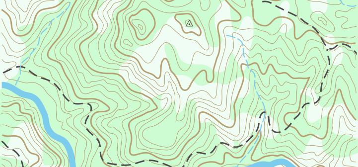
A topographic map shows the physical features of Earth. These features can be mountains, rivers, lakes, valleys, craters, and more. Man-made features such as roads may also be included.
In addition to physical features, a topographic map shows the elevation changes of land. Elevation is the height of land above a given level, usually sea level. Elevations are indicated with contour lines. Every point on the map connected to the same line is the same elevation. The lines have numbers indicating the elevation of the area. The closer the contour lines are to each other, the steeper the slope of the land.
Watch “How to Read a Topographic Map”